 |
Archeology
in the Field (cont.)
|
Introductory text....blah blah blah
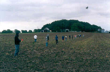
At
right, students conduct a surface collection survey of a
plowed field. Note their even spacing
to insure
uniform coverage. |
|
|
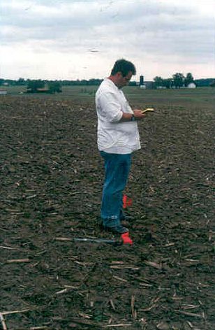
At left, an archeology student uses
a Global Positioning System (GPS), a device that consults
a network of orbiting satellites to note his exact location--and
the location of his find--within the
larger
site. |
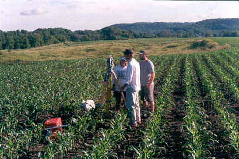
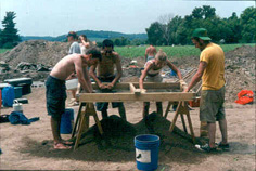
| Not all surveying, however, is quite so high tech. Old-fashioned
transit mapping is also a commonly used field technique. |
|
|
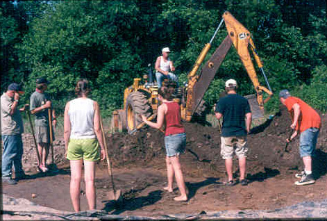
While
later excavations will be delicate...perhaps removing
only a few centimeters of soil at a time, heavy equipment
is often used to remove the "plowzone"--the layer
of soil near the surface that has been repeatedly disturbed
by agricultural
use. |
Continue with the Photo Essay
Back to the Previous Page
|